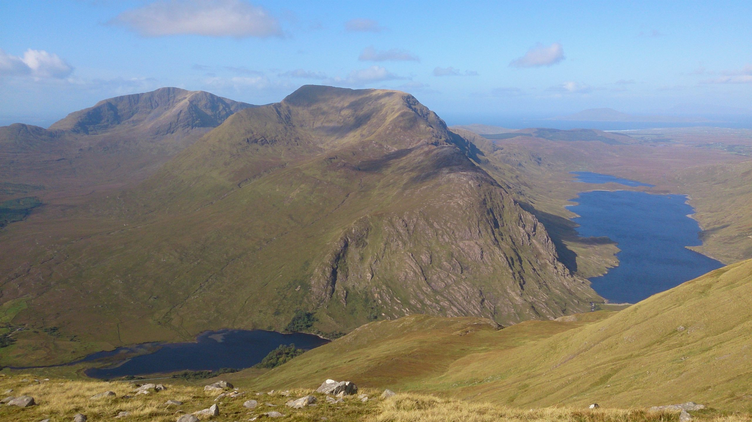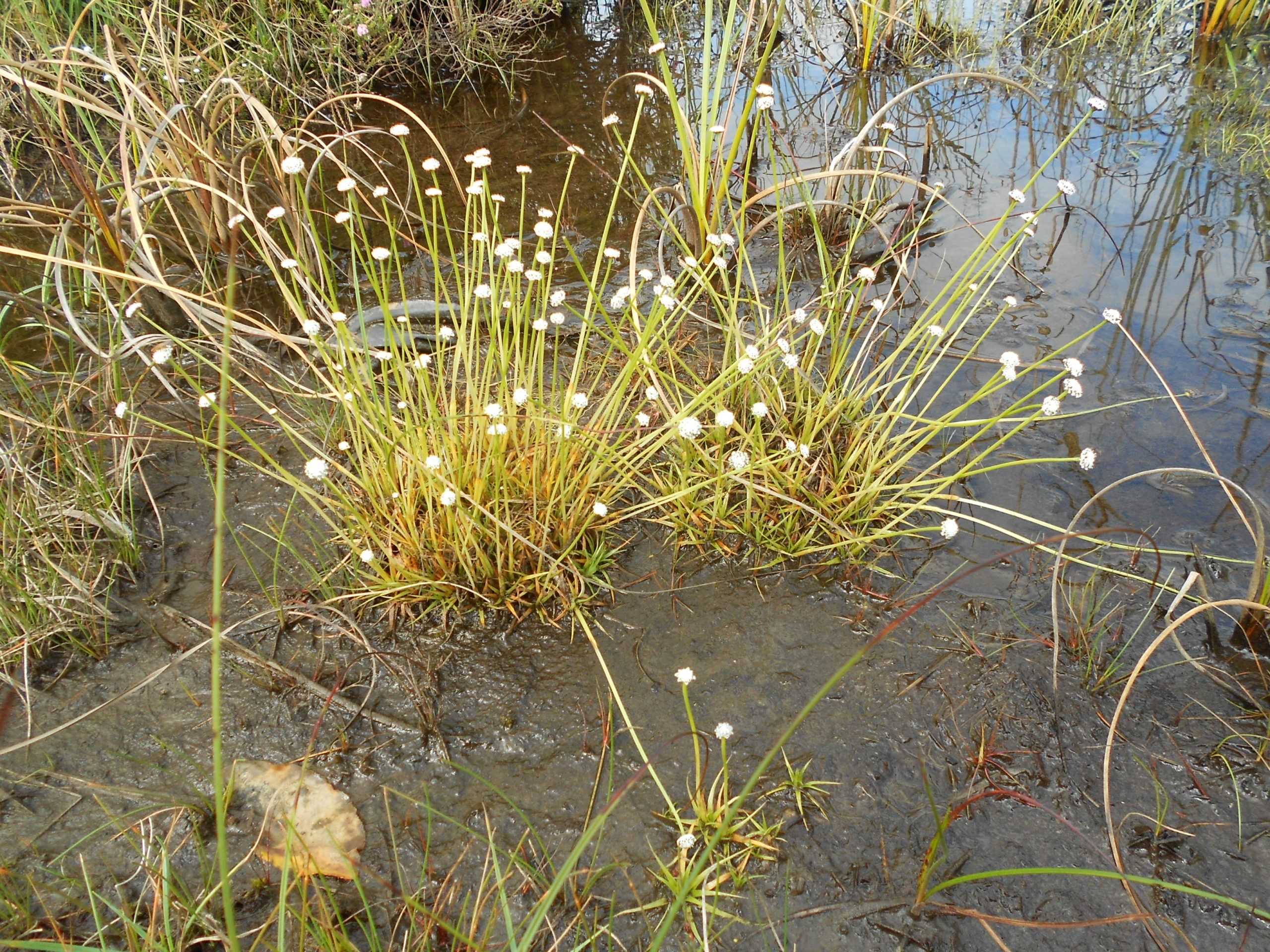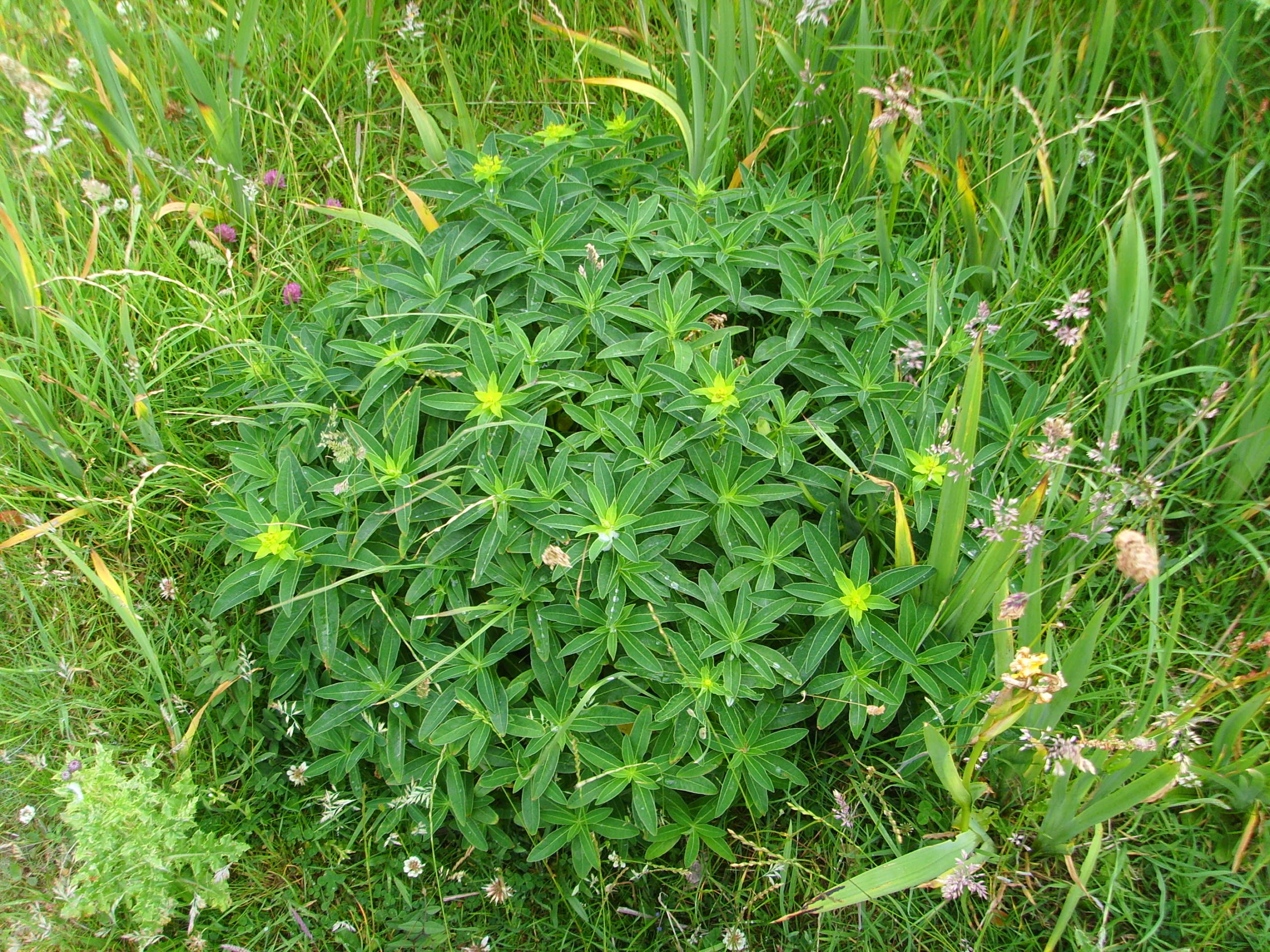
Mayo is a large coastal county that encompasses a contrasting range of landscape features and associated habitats. Its coastline includes offshore islands, exposed cliffs, salt-marshes, machair and dune systems. Over half of the county is made up of uplands and associated blanket bog and its western location makes it subject to mild winters and cool summers with significant amounts of precipitation throughout the year. It hosts many wetland habitats such as lakes, fens, raised bogs and turloughs and the county is divided by the Moy and Corrib river basins.
The varied shorelines of the large limestone lakes (Loughs Conn, Cullin, Carra, Mask and a small section of Corrib) that are associated with these catchments contain an important flora comprising both calcifuge and calcicole species. There are also significant pockets of sessile oak and ash/hazel woodland within the county together with various grasslands associated with low intensity agriculture.
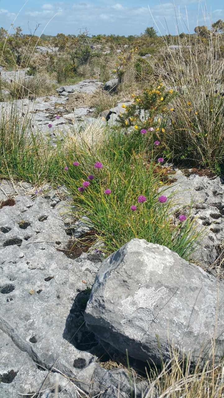
County Mayo is an Irish stronghold for species such as Limestone Fern Gymnocarpium robertianum, Irish St John’s-wort Hypericum canadense, Irish Heath Erica erigena, Marsh Saxifrage Saxifraga hirculus, Great Burnet Sanguisorba officinalis, Chives Allium schoenoprasum and Irish Lady’s Tresses Spiranthes romanzoffiana.
Vice-county boundaries
For information on vice-county boundaries please see this summary of the relevant passages from the publicly available Outline of the Flora of Mayo.
County Recorder(s)
VC H26 East Mayo: Eamonn Delaney
VC H27 West Mayo: Eoin McGreal and Sinéad Garry
County report for 2024

